| Section | Route | Length (Km) | Time (Hr) | Difficulty | Elevation |
|---|---|---|---|---|---|
| 2 | Long Ke to Pak Tam Au | 14.0 | 5.0 | ** | Sai Wan Shan (314M) |
Actual Section | Actual Route | Actual Length (Km) | Actual Time (Hr) | Actual Difficulty | Actual Elevation |
| 1b, 2a | 1b: High Land Reservoir East (H.K. Global Geopark of China) to Long Ke 2a: Long Ke to Chek Keng 萬宜水庫東壩>浪茄>赤徑 | 14.0 | 6.5 | ** | Sai Wan Shan (314M) |
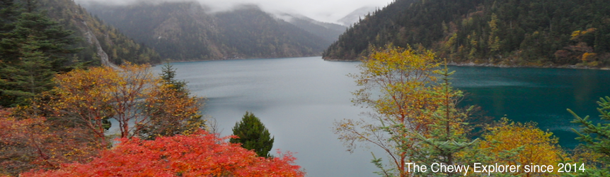
Route (Section 2):
Long Ke > Sai Wan Shan (314M) > Chui Tung > Sai Wan > Ham Tin Wan > Tai Long > Check Keng > Pak Tam Au
浪茄>西灣山 (314M)>吹筒坳>西灣>鹹田灣>大浪坳>赤徑>北潭凹
Description:
Trail Section2 is made up of rock stairs and muddy road.
| Transportation to Starting Point | Transportation to End Point |
|---|---|
| Take Taxi from Sai Kung Bus Terminal to High Land Reservoir East (Hong Kong Global Geopark of China) | KMB Bus 94 or 96R at Wong Shek Pier Bus Terminal to Sai Kung Bus Terminal |
  |


No comments:
Post a Comment